Elevate Your Data Collection with Cutting Edge Drone Automation
Take Flight
VDA Drone+
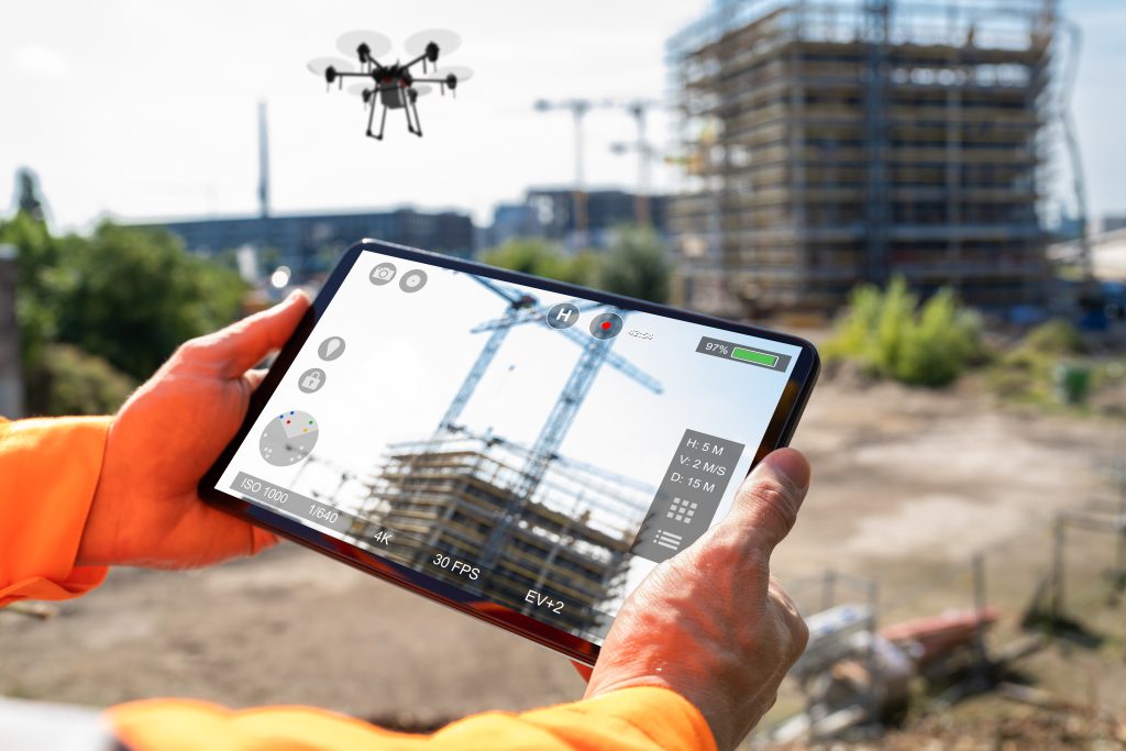
Conduct high-definition aerial inspections with automated flight capabilities with our mobile drone software. Capture precise imagery for roofing, construction, and property assessments.
Automation at Its Finest
Our fully automated features designed for peak efficiency.
Flight Plan
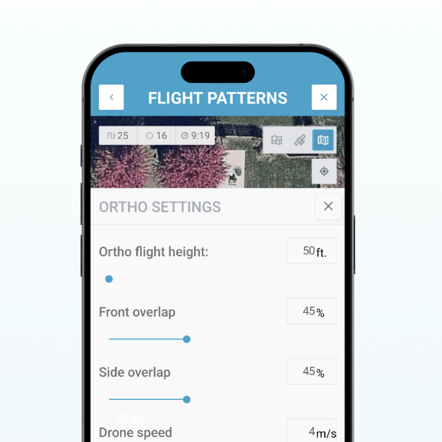
Just enter an address.
Data Transfer
From drone to phone to cloud processing.
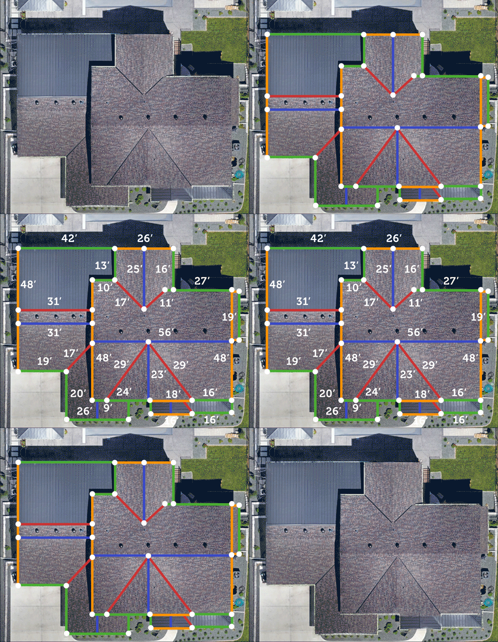
Roof Dimension Report
With complete breakdown of each component of the roof facet.
Gutter Dimension Report

Autonomous
Flight
VDA automatically controls the drone from take-off to landing.
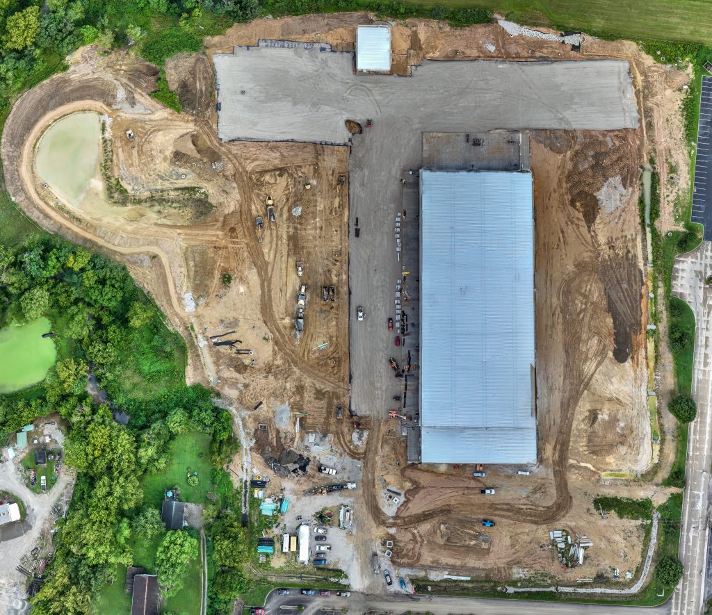
Precise Aerial Perspective
Orthomosaic overviews of your property for true scaling and dimensioning.
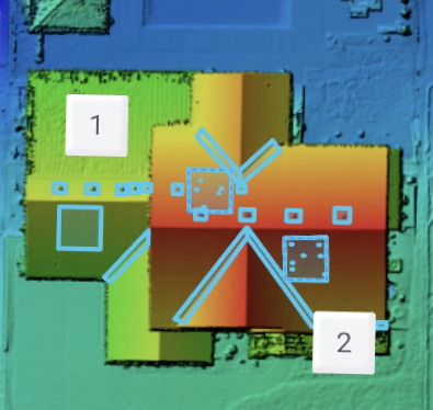
Intelligent, Hands Free Modeling
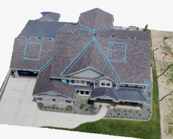
AI generated 2-D & 3-D modeling of your property for easy review.
Automated Analytics
Our artificial intelligence algorithms save you time by automatically and accurately dimensioning the roof within a matter of hours – not days.
Web Portal
A unified web portal to visualize, analyze and work with all the data uploaded from phone, drone and satellite data!
Consists of an easy to use admin panel and can be white-labelled specifically for your company!
- Organization & Management of all Missions & Evals
- Ability to interact 2-D & 3-D with captured data
- Roof Measurements
- Drone images with annotation abilities
- Customized Reporting


